Your Shopping Cart is empty.


Download sample
File Details
Published: 2025-05-04 19:16:52.043429 Category: Landscapes Type: Illustration Model release: No
Share
       

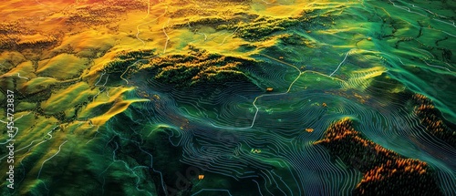
Topographic map displays forested hills using elevation lines, providing clear spatial data representation.

Contributor: Qbertstudio
ID : 1454723837

TitleFilesize
Illustration9333x4000


Buy on Adobe Stock

Keywords
contour, aerial view, landscape, visualisation, topography, cartography, mountain chain, vegetation, geography, morphology, forest, pathway, remote sensing, earth science, mapping, landform, geodesy, hillside