Your Shopping Cart is empty.


Download sample
File Details
Published: 2022-10-16 20:35:15.309599 Category: Travel Type: Vector Model release: Yes
Share
       

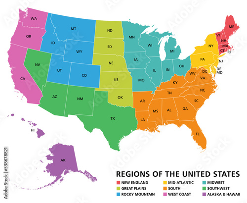
Regions of the United States of America, political map. The nine regions New England, Great Plains, Rocky Mountain, Mid Atlantic, South, West Coast, Midwest, Southwest, Alaska and Hawaii. Illustration

Contributor: Peter Hermes Furian
ID : 538678821

TitleFilesize
Vector4279x3505


Buy on Adobe Stock

Keywords
united, state, us, geographic, region, region, america, map, us, us, new england, great plains, rocky mountain, south, west coast, midwest, southwest, alaska, hawaii, continent, group, arrangement, grouping, position, america, division, classification, system, state, country, geography, area, border, administrative, statistic, statistic, datum, political, cartography, mapping, atlas, overview, infographic, colours, colourful, isolated, illustration