Your Shopping Cart is empty.


Download sample
File Details
Published: 2017-06-15 16:02:17.742781 Category: Africa Type: Vector Model release: No
Share
       

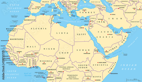
North Africa and Middle East political map with most important capitals and international borders. Maghreb, Mediterranean, West and Central Asian countries. Illustration with English labeling. Vector

Contributor: Peter Hermes Furian
ID : 159735725

TitleFilesize
Vector10366x5996


Buy on Adobe Stock

Keywords
africa, north, middle, east, map, north africa, middle east, country, capital, international, border, maghreb, mediterranean, sea, west, central, asia, central asia, arabian, peninsula, horn, red sea, persian, gulf, land, atlantic, ocean, europa, aegean, atlas, cartography, geography, english, labeling, illustration, vector