Stock
Photo
Video
Audio
Vector
Collections
Packages
Lightboxes
Prints and Products
Wall Art
Canvas Prints
Framed Prints
Prints and Posters
Metal Prints
Acrylic Prints
Phone Cases
iPhone Cases
Galaxy Cases
Home Decor
Pillows
Duvet Covers
Shower Curtain
Clothes
T-Shirts
Souvenirs
Greeting Cards
Bags
Tote Bags
Categories
Site info
About
Support
Privacy Policy
FAQ
Contact Us
Google map
Shopping Cart
Member Area
English
Your Shopping Cart is empty.
Total:
View cart
Checkout
Home
Catalog
Download sample
File Details
Published:
2021-03-23 23:35:53.206525
Category:
Travel
Type:
Illustration
Model release:
No
Share
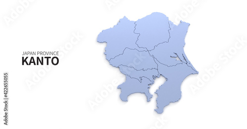
Kanto map. map of Japanese provinces 3d illustration.
Contributor:
Tuna salmon
ID : 422655055
Files
Prints and Products
Title
Filesize
Illustration
4200x2200
Buy on Adobe Stock
Title
Price
Buy
Wall Art
Canvas Prints
30 EUR or Credits
Framed Prints
10 EUR or Credits
Prints and Posters
5 EUR or Credits
Metal Prints
10 EUR or Credits
Acrylic Prints
10 EUR or Credits
Phone Cases
iPhone Cases
30 EUR or Credits
Galaxy Cases
30 EUR or Credits
Home Decor
Pillows
18 EUR or Credits
Duvet Covers
100 EUR or Credits
Shower Curtain
50 EUR or Credits
Clothes
T-Shirts
20 EUR or Credits
Souvenirs
Greeting Cards
3 EUR or Credits
Bags
Tote Bags
20 EUR or Credits
Order print
Keywords
three-dimensional
,
asian
,
background
,
banner
,
blue
,
border
,
booklet
,
cartography
,
concept
,
country
,
design
,
east
,
geographical
,
geography
,
graphic
,
hokkaido
,
illustration
,
isolated
,
japan
,
japanese
,
kansai
,
kanto
,
kyushu
,
location
,
map
,
map
,
modern
,
nation
,
national
,
okinawa
,
perspective
,
piece
,
presentation
,
province
,
region
,
render
,
rendering
,
sea
,
shikoku
,
signs
,
template
,
territory
,
tokyo
,
tour tourism
,
travel
,
view
Related items
)