Your Shopping Cart is empty.


Download sample
File Details
Published: 2025-07-31 19:49:21.771505 Category: Graphic Resources Type: Illustration Model release: No
Share
       

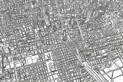
Detailed Aerial City Map with Urban Grid and Street Layout Design

Contributor: Rosshahizal Amri
ID : 1620796271

TitleFilesize
Illustration5376x3584


Buy on Adobe Stock

Keywords
city, urban, architecture, layout, street, building, grid, planning, infrastructure, design, map, city landscape, road, neighbourhood, view, town, structure, area, topography, metropolis, downtown, outline, vignetting, shape, line, graphic, zone, territory, district, perspective, environment, geography, art, illustration, capital, complex, residential, commercial, visual, drawing, city planning, urban area, space