Your Shopping Cart is empty.


Download sample
File Details
Published: 2024-07-22 21:46:07.272598 Category: Travel Type: Illustration Model release: No
Share
       

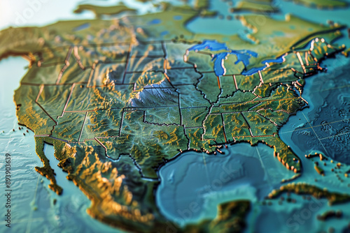
A beautifully illustrated topographic map of North America, highlighting elevations, state borders, and diverse terrain.

Contributor: Victor Bertrand
ID : 893903639

TitleFilesize
Illustration5700x3800


Buy on Adobe Stock

Keywords
north america, geography, map, detailed, cartography, landscape, boundary, illustrated, continent, region, topography, mapping, geographic, technical, educational, visualisation, vale, mountain, landform, contour, informative, scenery, representation, border